Road bike holidays
court texte
Titre
- Based at a great little Maison d'Hôte (guesthouse) in western France
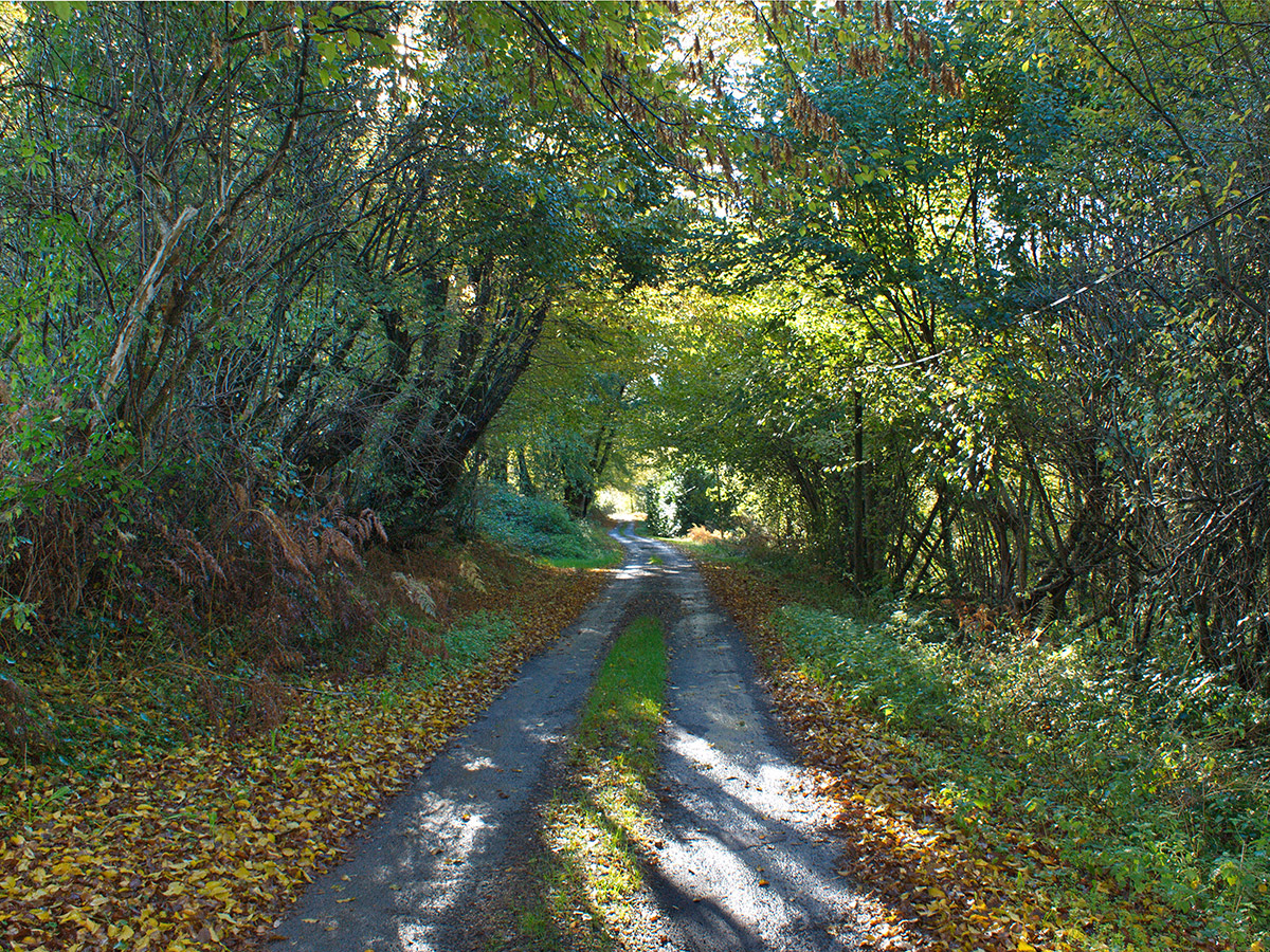
- Excellent road surfaces, hardly any traffic and polite drivers
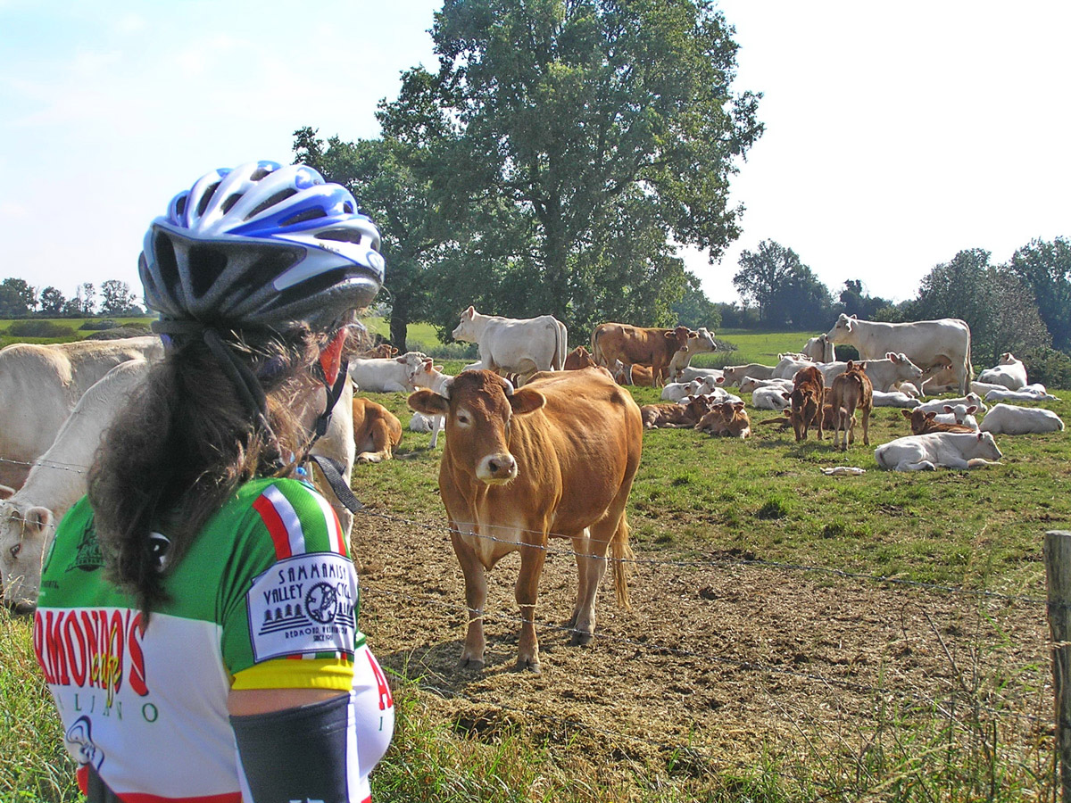
- Challenging routes on little-used country lanes
- Route-cards and highlighted maps
- Friendly support, advice and information
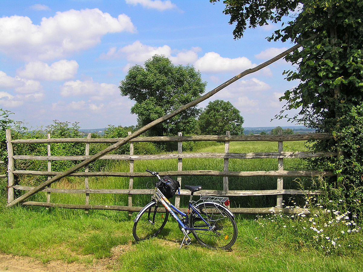
- Secure bike store
- Bike washing and workshop facilities
- Lycra washing and drying facilities
- Idyllic, remote, undiscovered and yet easily accessible
- Absolutely everything during your stay is included, particularly all meals and drinks.


Breakfast
First class breakfasts comprise delicious crusty French bread and coissants fresh from the boulangerie with sweet local butter, creamy local honey, home made confitures and fresh coffee, tea or chocolate. Muesli, cereal flakes, dried fruit, yogurt and seasonal fresh fruits are also provided.
Lunch
Generous baguette sandwiches – a different filling each day – together with seasonal fresh fruit, dried fruit, chocolate and individual cakes and biscuits ; and drinks for you to select to go with your packed lunches. Packed lunches can be carried with you or consumed or back at le Moulin.
Evening Meal
Each evening, aperitifs-at-seven are followed by a lively four-course evening meal with brilliant food, plenty of excellent wine, great bonhomie and a marvellous ambiance. Guests and hosts participate together in the leisurely evening meals.
Our proposed routes
Follow our circuits or go as the whim takes you ! All the suggested circuits start and finish at le Moulin, each taking you into a different sector of the countryside.
Local
Orientation tour through Neuvy-Bouin and Chapelle-aux-Lys – some good hills to stretch the muscles after your journey and downhill sections to wake you up.
60km/37miles - total ascent 941m/3,107ft
North
Herisson (the navel of the world) and the Fôret-sur-Sèvre. Hilly to start with, hilly in the middle and hilly at the end.
88km/53miles - total ascent 1,271m/4,170ft
West
Out via medieval village of Vouvant, across to the west of Route de Fontenay and back through the majestic Mervent Forest. Quite arduous.
72km/43miles - total ascent 1,195m/3,920ft
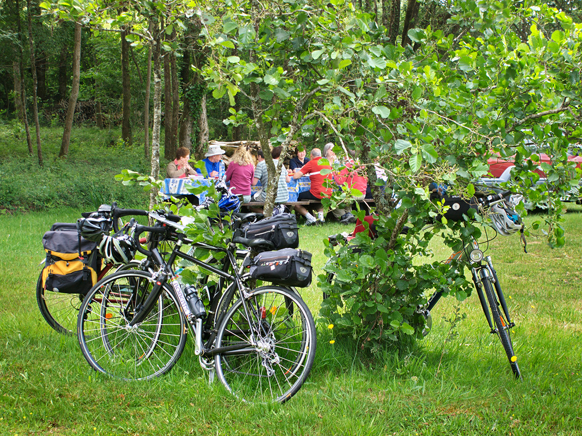
Picnic
Le Beugnon Lakes – meet us to enjoy a civilised picnic lunch. A shorter ride for mid-week with some fairly challenging hills.
28km/17miles - total ascent 514m/1,686ft
East
Ste-Ouenne. After a comparative rest on Wednesday , this is a tough ride but it can be very enjoyable.
70km/42miles - total ascent 1,401m/4,597ft
South
Marais Poitevin. The longest but least hilly of all the rides, with plenty of interesting places to stop-off and have a look on the last day.
107km/59miles - total ascent 1,141m/3,743ft
- Total distance for the six proposed rides = 425km/255miles.
- Total ascent for the six proposed rides = 6,463m/21,205feet.
- The total ascent is equivalent to five times the famed Col de Tourmalet.
- If you don't want to suffer so much pain, less arduous options are available !
Details
- Hundreds of kilometres of undulating lanes at le Moulin’s doorstep.
- Very little traffic, even the main roads are relatively empty.
- Route-cards, highlighted maps and friendly support and advice are provided.
- Distances can be tailored to suit you - tell us what distance you want and how challenging.
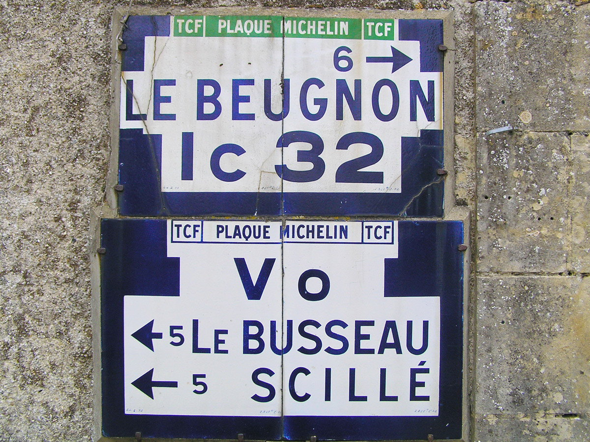
Maps
The highlighted maps are prepared on A4 plastic-laminated sheets that fit into handlebar mapholders. We can supply suitable mapholders if required. The highlighted maps have been prepared using software obtained from IGN – the French official mapmaker.
An example of a typical highlighted map-sheet is reproduced below.
Original IGN printed maps of the region are available in you room for reference.

Route notes
A Personalised Dossier is provided for road bike guests on arrival at le Moulin du Chemin. The dossier includes sets route cards and highlighted maps relating to the routes proposed for the week.
Route cards are about 11 cm wide so they slip easily in and out of the back pocket of cyclists shirts. The route cards are laminated in plastic. Information on the route cards is the minimum compatible with you not getting lost - therefore easier to follow.
An example of a route-card is reproduced below.
Extra hill routes
These six circuits from le Moulin du Chemin have been selected specifically for the hills – hills are for riding up, right ? Varying from 6.5km to 40km in length with ascents of up to 170m and a maximum gradient of 10%. These are supplementary to the circuits proposed for each day, so you can take your pick !
Similarly to the main proposed routes, the hills are represented by route-cards and highlighted maps.
The table below gives details of the hills.
The elevation at le Moulin (the start and finish point of the above circuits) is 137m above sea level, measured on the footbridge by the ford that crosses the stream.
Cycling from le Moulin du Chemin is invogorating. The two country lanes leading out of le Moulin's valley reach level ground after a little over 1km, each with climbs of around 60m.